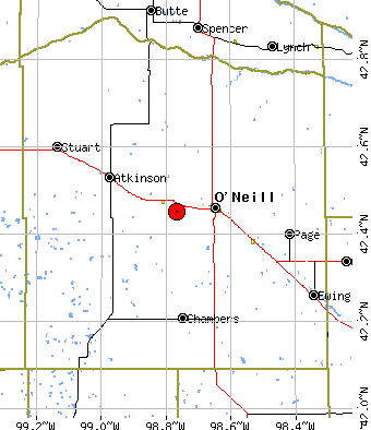
| Current Holt County map. |
Holt County |
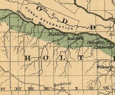
| 1876 Map of the state of Nebraska showing the lands of the Burlington & Missouri Riv. R.R. Co. in Nebraska. To see the full State map see: Library of Congress State Map Collections | 1876 Holt Co. RR map |
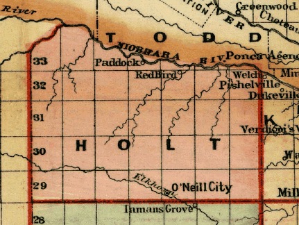
| Cram's rail road and township map of Nebraska. To see the full State map see: |
Cram's 1878/79 RR Map |
| 1879/80 Map of Nebraska showing the Union Pacific Railroad land grant.
To see the full State map see: Library of Congress State Map Collections Follow the link for Nebraska, then for the 1879 Nebraska map. | 1879 U. P. R. R. land |
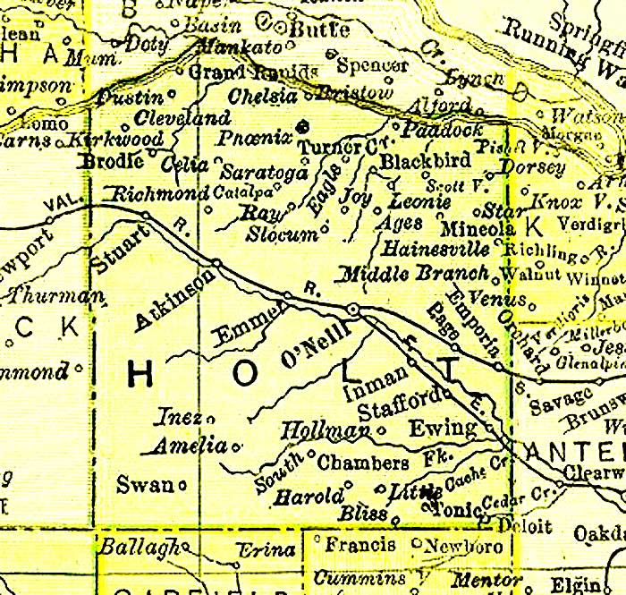
| 1889 RR map of Holt County From a Railway map of Nebraska issued by State Board of Transportation 1889. | 1889 Holt Co. RR map |
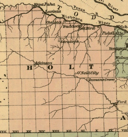
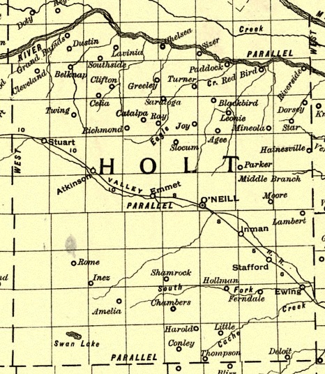
| 1895 Atlas Map of Holt County | 1895 Atlas |
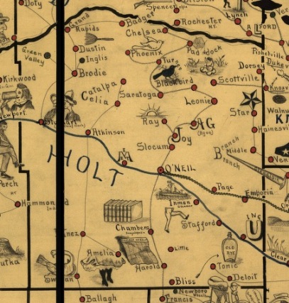
| Galbraith's railway mail service map. - 1898 Showing routes and post offices of the Railway Mail Service. |
1898 Railway Map |