Some pages are missing, and names index is not available.
In Progress.... The Farmer's Directories are complete.
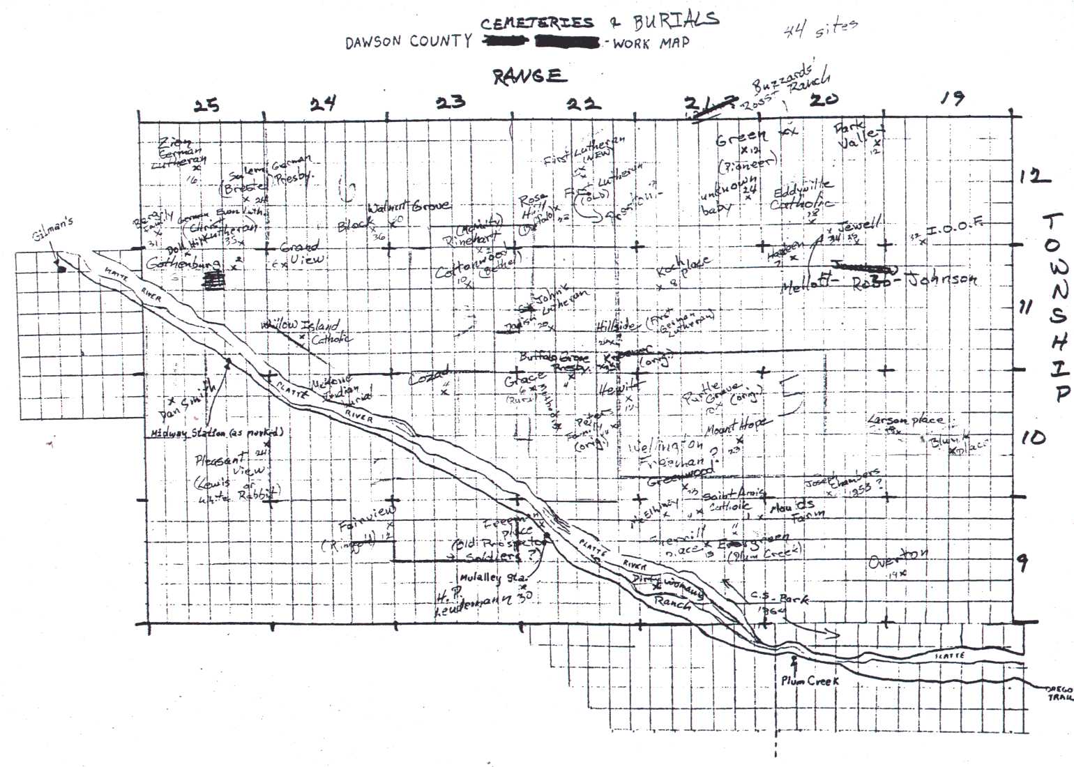
Contributed by Pam Rietsch and the Mardos Memorial Library.
Transcribed and prepared for the web by Connie Snyder.
To see the full State map see: Library of Congress State Map Collections Follow the link for Nebraska, then for the 1874 Nebraska map.
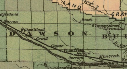
To see the full State map see: Library of Congress State Map Collections Follow the link for Nebraska, then for the 1876 Nebraska map.
To see the full State map see: Library of Congress State Map Collections Follow the link for Nebraska, then for the 1879 Nebraska map.
To see the full State map see: Library of Congress State Map Collections Follow the link for Nebraska, then for the 1886 Nebraska map.
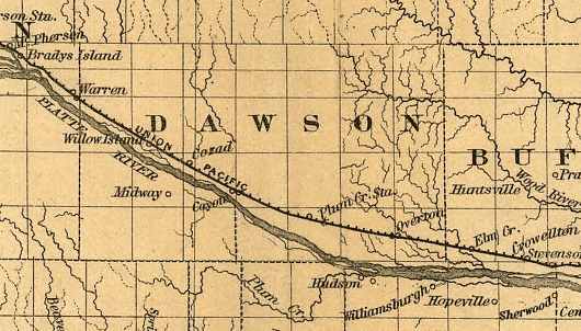
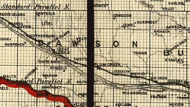
From a Railway map of Nebraska issued by State Board of Transportation 1889.
To see the full State map see: Library of Congress State Map Collections Follow the link for Nebraska, then for the 1889 Nebraska map.
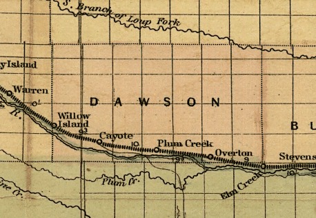
Found in the NEGenWeb Project OnLine Library. Check the county index for the Dawson County map.
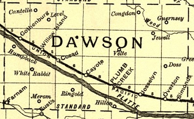
Link to a map of Dawson County as it was in 1895 from Pam Rietsch's 1895 U.S. Atlas site. A very special Thank you to Pam for providing a great site.
Pam Rietsch's Site
Showing routes and post offices of the Railway Mail Service.
To see the full State map see: Library of Congress State Map Collections Follow the link for Nebraska, then for the 1898 Nebraska map.
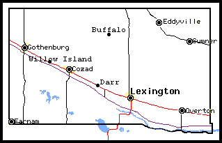
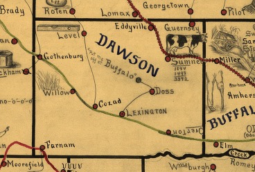
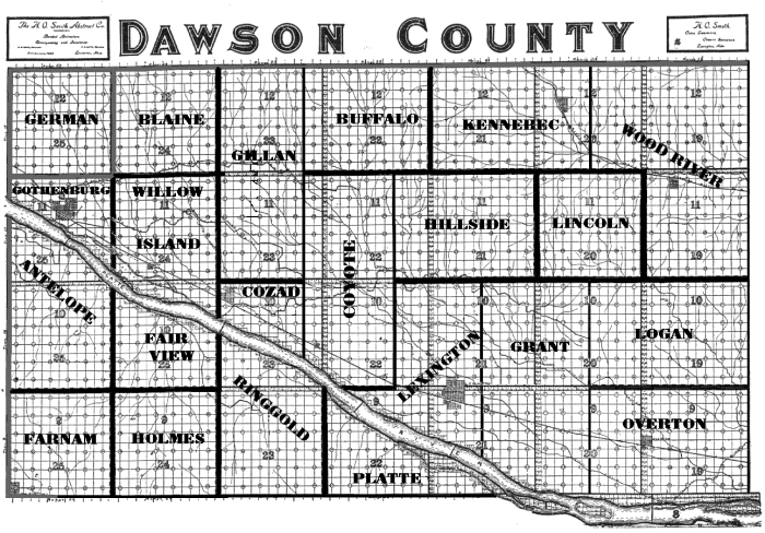
(note: This image comes from a 1907 map that is hard to read, so the township names and lines have been altered or darkened to make it clearer on the web. The lines may not be completely accurate. Please use it only as a place to start your search. You can contact the Dawson County Historical Society for more information.)